
Author: Ken McQueen, NRG Steering Committee
Extract from National Rock Garden Newsletter No. 20, November 2020
Mount Roland is an imposing monolith with a majestic presence at the north-western edge of Tasmania’s central plateau. It has an elevation of 1,234 m above sea level and stands 10 km southeast of the small town of Sheffield in northern Tasmania. The mountain is composed largely of conglomerate, a sedimentary rock formed in large rivers or alluvial fans. On the very top and behind the frontal peak there are also some overlying sandstones. The conglomerate is siliceous (quartz-rich), very hard and resistant to erosion and chemical weathering. We would love to get a large sample for the National Rock Garden.
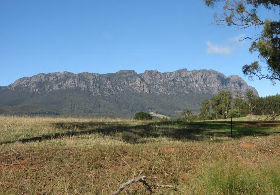
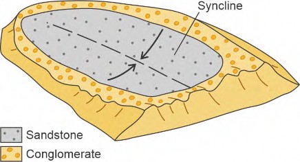
Mount Roland has the structure of a large synclinal fold (trough-shaped structure) with a relatively flat top, which slopes more gently back towards the southeast. Some peaks on the top of the mountain show bedding surfaces dipping or sloping towards the centre of the syncline (towards the east on the right side and towards the west on the left side of the mountain).
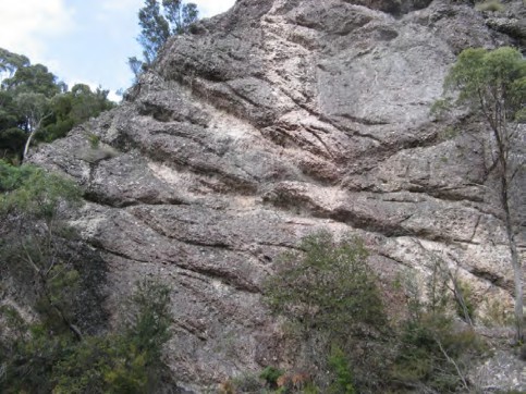
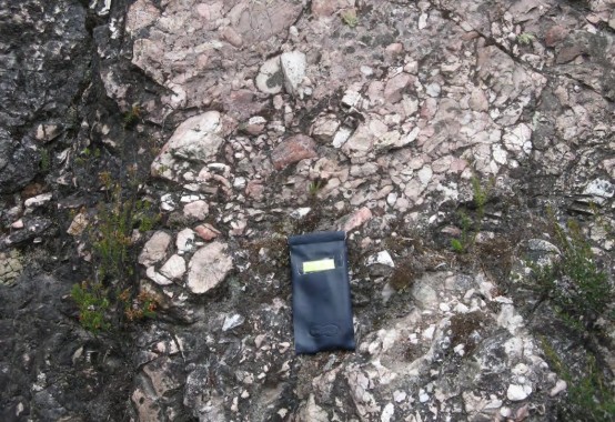
The conglomerate and sandstone making up Mount Roland are part of a geological unit named the Owen Group, of Late Cambrian to Early Ordovician age (Corbett 2003). The conglomerate contains well-rounded cobbles and pebbles of quartzite, sandstone, chert and reef quartz in a sparse sandy matrix. These materials were probably derived from earlier highlands of Proterozoic rocks containing quartzites and sandstones in the uplifted Tyennan and Rocky Cape blocks in the central west and far northwest of Tasmania.
The Owen Group is named after Mount Owen, a peak near Queenstown on the west coast of Tasmania, which is composed of the same conglomerate rock. In 1863, Charles Gould named a number of mountains on the west coast after famous nineteenth century scientists, including Mt Lyell (Charles Lyell, geologist), Mt Murchison (Roderick Murchison, geologist) and Mt Owen (Richard Owen, biologist/palaeontologist). Mount Roland was originally named Rolland’s Repulse after Captain John Rolland, who traversed the high country between the mountain and nearby Mount Van Dyke in 1823.
Unfortunately, the indigenous name for Mount Roland is not known. The nearby Gog Range was known by the Aborigines as Kooparoona Niara, which means Mountains of the Spirits.
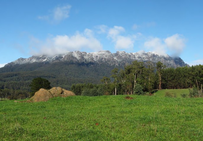
Given its majestic presence and origin as an erosional remnant of hard, similar-age sedimentary rocks, Mount Roland could be considered Tasmania’s equivalent of Uluru in Central Australia. As with Uluru, the changing position of the sun on the towering northern face of the mountain results in a myriad of different light patterns and mountain moods from dawn to dusk. Changing cloud formations and a winter snow capping add further dramatic atmosphere.
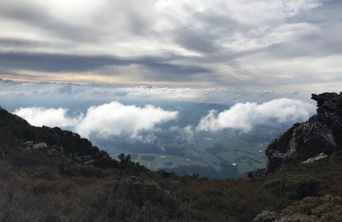
It is possible to explore and climb to the summit of Mount Roland along trails from Gowrie Park, which also take the visitor through a range of different vegetation zones. The view from the summit is awesome.
References
Corbett, K. D., 2003. Bedrock geological map of the Que River – Sheffield area, north-west Tasmania, 1:100 000 scale. Mineral Resources Tasmania.


